- Cornwall Boscastle
- Devon Bantham & Hope Cove
- Dorset Langton Herring
- Wiltshire Holt & Great Chalfield
- Gloucestershire Adlestrop & Daylesford
- Hampshire Hambledon
- Kent Fordwich to Upstreet
- Buckinghamshire West Wycombe & Bledlow Ridge
- Bedfordshire Pavenham to Bedford
- Shropshire Craven Arms to Ludlow
- Shropshire/Herefordshire Ludlow & Mortimer Forest
- Rutland Braunston-in-Rutland
- Derbyshire Edale & Mam Tor
- Suffolk Freston
- Norfolk Rockland St Mary & Claxton
- Cumbria Elterwater & Little Langdale
- Cumbria Kirkby Lonsdale
- West Yorkshire Rothwell
- East Yorkshire Huggate
- Northumberland Beadnell to Craster
- Pembrokeshire Angle Peninsula
- Gwynedd Barmouth
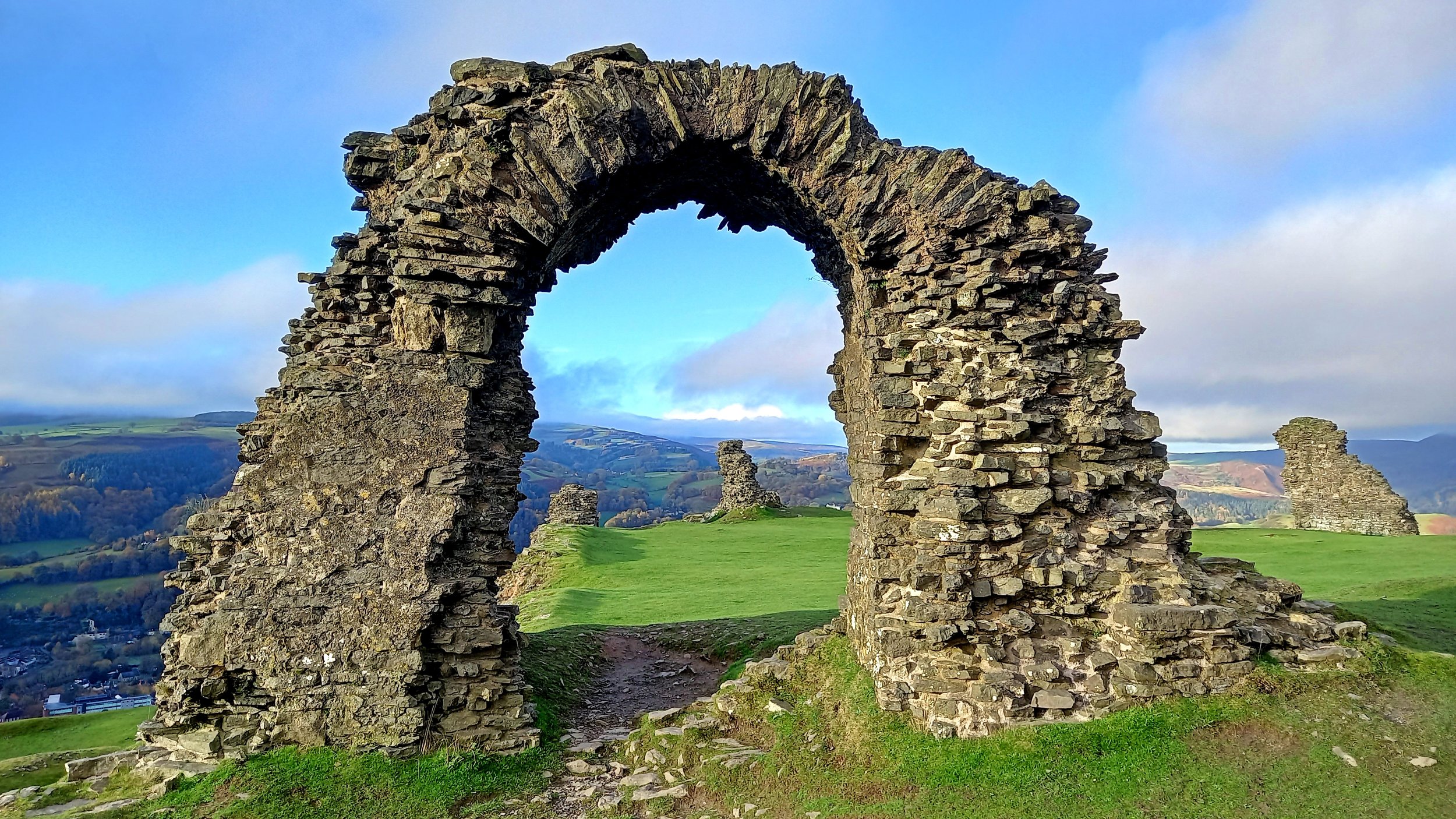
- Wrexham/Shropshire Chirk & Pontfadog
- East Lothian East Linton to Dunbar
- Outer Hebrides Eriskay
- Highland Druim Shionnaich
- Cumbria Helm Crag & Far Easedale
May 2023
- Cornwall Gurnard's Head to Cape Cornwall
- Devon Haytor Rocks & Hound Tor
- Dorset Lulworth Cove & Durdle Door
- Isle of Wight Tennyson Down & the Needles
- East Sussex Seven Sisters & Beachy Head
- Kent Dungeness
- Greater London Westminster to Parliament Hill
- Worcestershire/Gloucestershire Snowshill & Broadway
- Derbyshire Chrome & Parkhouse Hill
- Norfolk Berney Arms to Reedham
- Norfolk Burnham Deepdale to Wells
- Cumbria Langdale Pikes
- North Yorkshire Ingleborough
- North Yorkshire Brimham Rocks
- East Yorkshire Flamborough Head
- Northumberland Windy Gyle
- Northumberland Holy Island
- Pembrokeshire St Davids & Ramsey Sound
- Powys/Carmarthenshire Black Mountain
- Denbighshire Llangollen
- North Ayrshire Goatfell
- Stirling Dumgoyne
- Outer Hebrides Isle of Vatersay
- Highland Loch Affric Circuit
- Aberdeenshire Lochnagar
- Aberdeenshire Cruden Bay & Slains Castle
- Outer Hebrides An Cliseam
- Highland Stac Pollaidh
April 2023
Walk 6 trails the North Downs Way through the poppy-stippled fields of Plantlife’s Ranscombe Farm Reserve.
Photo: Philip Thomas
- Cornwall Polgigga & Porthgwarra
- Dorset Dorchester to Weymouth
- Somerset Beckington to Frome
- Isle of Wight Godshill & Appuldurcombe
- West Sussex Bramber
- Kent Cobham & Luddesdown
- Essex Epping to Loughton
- Oxfordshire Charlbury to Hanborough
- Herefordshire Mordiford & Hampton Bishop
- Warwickshire Stratford-upon-Avon to Wootton Wawen
- Leicestershire Burbage Common & Wood
- Staffordshire/Shropshire Forton & Aqualate Mere
- Cambridgeshire Lode Mill & Quy Fen
- Norfolk Honing & East Ruston
- Cheshire Kerridge Hill & White Nancy
- Merseyside Formby
- Cumbria Raven Crag
- Cumbria Caldbeck & Watersmeet
- West Yorkshire St Ives Country Estate
- North Yorkshire Semer Water
- Northumberland Bewick Moor
- Swansea Parc le Breos Wood
- Conwy Llandudno
- West Lothian Almondell & Calderwood Country Park
- Highland Cùl Mòr
- Highland Ullapool Hill Walk
- Powys Pen y Fan & Corn Du
Spring 2023
Our Spring issue covers nine wonderfully different routes up the highest mountain in Wales (17 – 25), including this one (25), the white-knuckle way; behold Crib Goch (a Grade 1 scramble).
Photo: Tom Bailey
- Devon Cranmere Pool
- Dorset Sixpenny Handley
- Berkshire Cookham
- Kent Chilham & Godmersham
- Kent Wye Downs & Crundale
- Worcestershire Upton upon Severn
- Northamptonshire Woodford Halse & Eydon
- Staffordshire Warslow, Revidge & Lum Edge
- Cambridgeshire Ely
- Lancashire Hurst Green & the Three Rivers
- Cumbria Brockhole & Troutbeck
- Cumbria Fairfield via Seat Sandal
- North Yorkshire Grassington & Hebden
- East Yorkshire Bridlington & Flamborough
- North Yorkshire Goathland & Grosmont
- Glamorgan Dinas Powys & Salmon Leaps
- Gwynedd Yr Wyddfa/Snowdon: Llanberis Path
- Gwynedd Yr Wyddfa/Snowdon: Miners' Track
- Gwynedd Yr Wyddfa/Snowdon: Ranger Path
- Gwynedd Yr Wyddfa/Snowdon: Pyg Track
- Gwynedd Yr Wyddfa/Snowdon: Rhyd-Ddu Path
- Gwynedd Yr Wyddfa/Snowdon: Watkin Path
UPDATE: Incorrect map printed in the magazine. Use the map and route plot provided on OS Maps.
- Gwynedd Yr Wyddfa/Snowdon: South Ridge
- Gwynedd Yr Wyddfa/Snowdon: Y Lliwedd
- Gwynedd Yr Wyddfa/Snowdon: Crib Goch
- Falkirk Blackness Castle & Bay
- Perth & Kinross Kinclaven & Ballathie
- Highland Fuar Tholl
Keep scrolling down or click here for previous issues’ routes...
You can also use the map below to find all Country Walking routes published on OS Maps. To browse for routes, simply zoom and pan the map. Access a route by clicking on an icon for details, then click the OS Maps link.
Our routes are graded Easy, Moderate, Challenging or Extreme, depending on distance, terrain, elevation and ease of navigation. Easy and moderate walks are usually less than 8 miles with relatively gentle gradients and good paths. Challenging walks are usually longer, with greater ascent and can also involve more demanding terrain or difficult navigation. PLEASE WAIT WHILE THE MAP LOADS.
March 2023
Walk 16 yields this breathtaking view of the North Pennines escarpment from Crosby Ravensworth Fell.
Photo: Vivienne Crow
- Cornwall Trebetherick & Rock
- Dorset Cerne Abbas & Minterne Magna
- Gloucestershire Ashleworth to Gloucester
- East Sussex Telscombe
- Hampshire Longparish
- Berkshire Streatley & Aldworth
- Essex Blackmore
- Oxfordshire/Warwickshire Banbury
- Shropshire Bucknell
- Staffordshire Kinver and the Staffordshire & Worcestershire Canal
- Nottinghamshire Willoughby-on-the-Wolds
- Suffolk Great Finborough
- Cambridgeshire Castor Hanglands
- Greater Manchester Naden & Greenbooth Reservoirs
- Cumbria Blawith & Beacon Fell
- Cumbria Crosby Ravensworth Fell
- South Yorkshire Thurlstone Moors
- North Yorkshire Sheriff Hutton
- North Yorkshire Saltburn
- County Durham Pontop Pike
- Pembrokeshire Saundersfoot
- Powys Llyswen & Mynydd Fforest
- Denbighshire Llandrillo & Cadair Berwyn
- Scottish Borders Rubers Law
- Scottish Borders Vertish Hill & Williestruther Loch
- Highland Balmacara
- Derbyshire Long Dale & Gratton Dale